
Development of a methodology for creating supra-regional geothermal favorability maps for Central America and creation of a common geodatabase and associated potential maps
Background
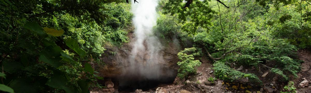
Due to its location along an active tectonic plate boundary (subduction zone), large parts of Central America are characterized by volcanism. The heat sources are therefore already at relatively shallow depths, ideal for development by geothermal energy projects. In Central America there is a need for geothermal heat from near-surface sources for tourism, as well as agricultural and industrial drying processes, and in the area of deep geothermal energy for power generation.
Assignment
Unlike in Europe, there are no publicly accessible platforms for updated geoscientific data in Central America to date, from which some geothermal potential can be derived. The German Society for International Cooperation (GiZ) operates a cross-regional program to promote geothermal market development in Central America. One of the elements of this program is the development of tools to facilitate the search of suitable locations and decision making. ERDWERK has been involved in the development of the geothermal market in the region for many years with a Spanish-speaking team with professional experience in Latin America and has been contracted by the GiZ to a) develop a cross-regional geoscience database, b) develop a methodology with which geothermal potential maps ("favorability maps") can be created from basic geoscientific data and spatial energy demand data, c) create the maps for each country in the region, d) make all data accessible through an ArcGIS Online-based platform, and e) train contact persons ("focal points") at the state level in each country in the use of the database and the methodology to enable further long-term development of the platform.
Completion of the project
ERDWERK successfully completed the work in early 2021 and left further development to GiZ and the focal points. Challenging factors in the development were the thin data base and restrictive data policies among the participating countries. However, the development of the database and favorability maps has helped draw attention to the need for cross-regional geoscience data sharing and the refinement and digitization of baseline data.
13.664621, -89.262026
©2024 Erdwerk GmbH.